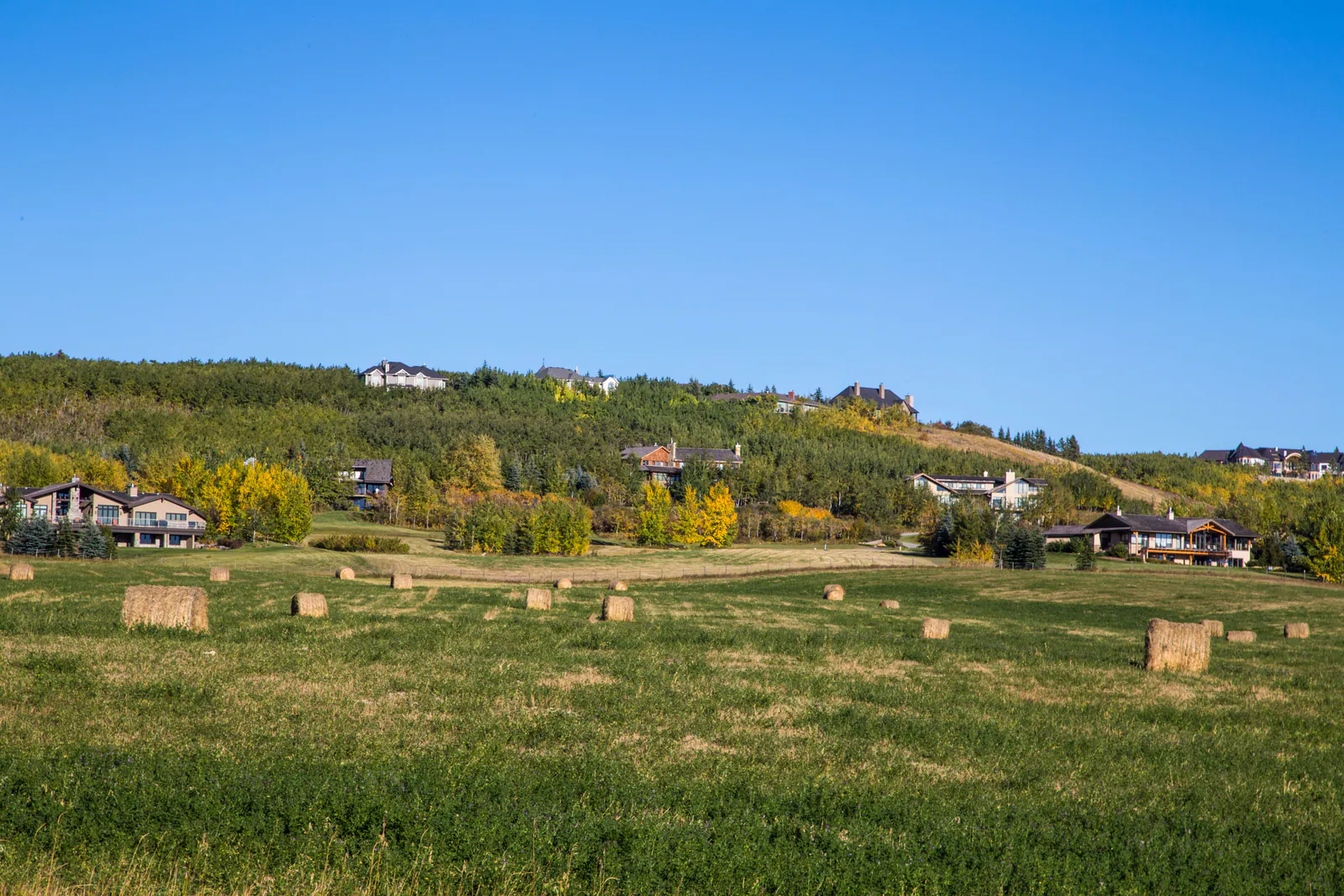
Alberta acreage regions
Every valley has its own rules.
Water, zoning, commute and character change from one range road to the next. These are the acreage regions Dusko works in most, from the Bow Valley bluffs to the Sheep River.
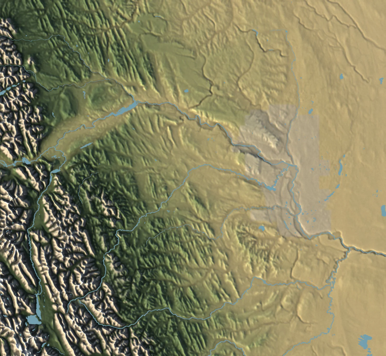
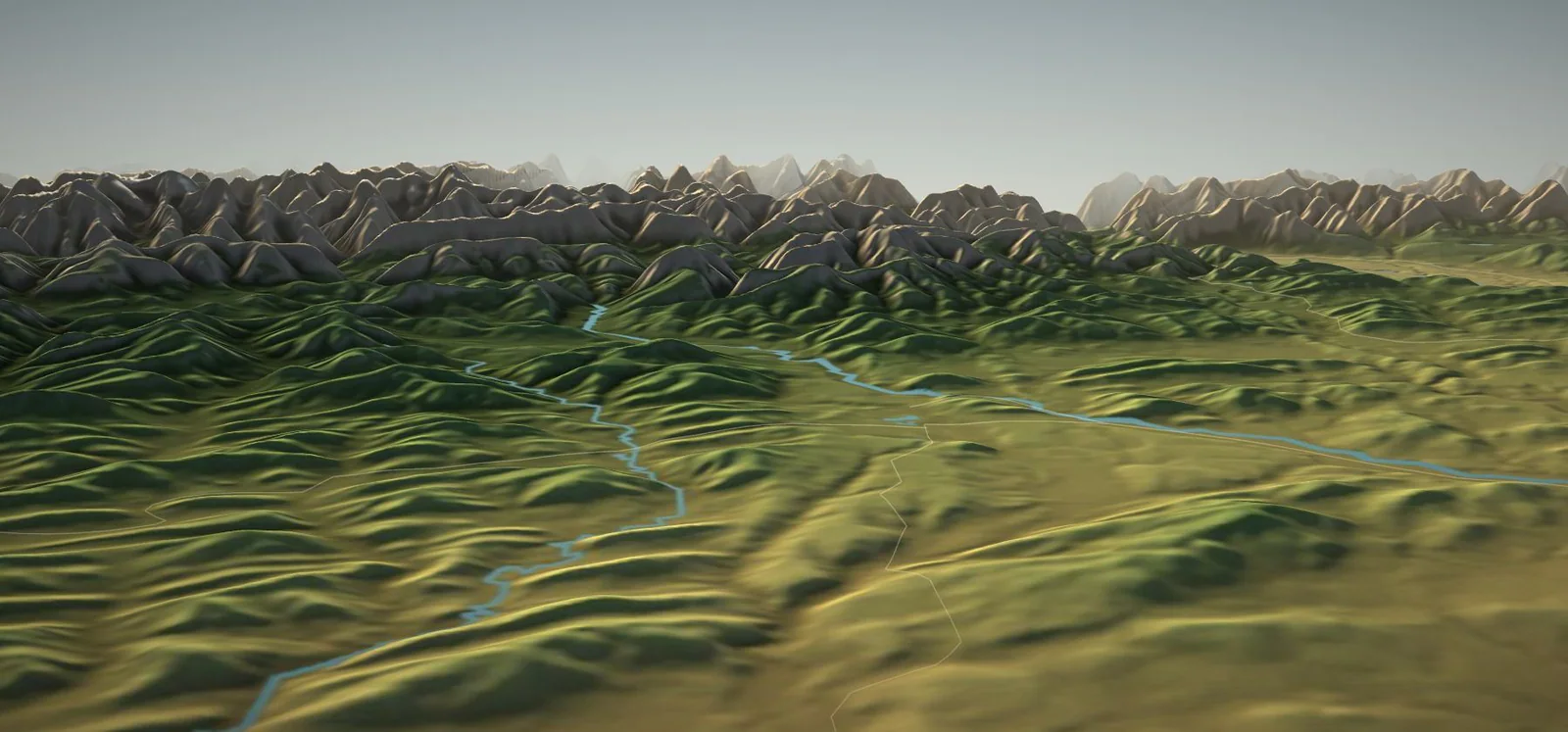
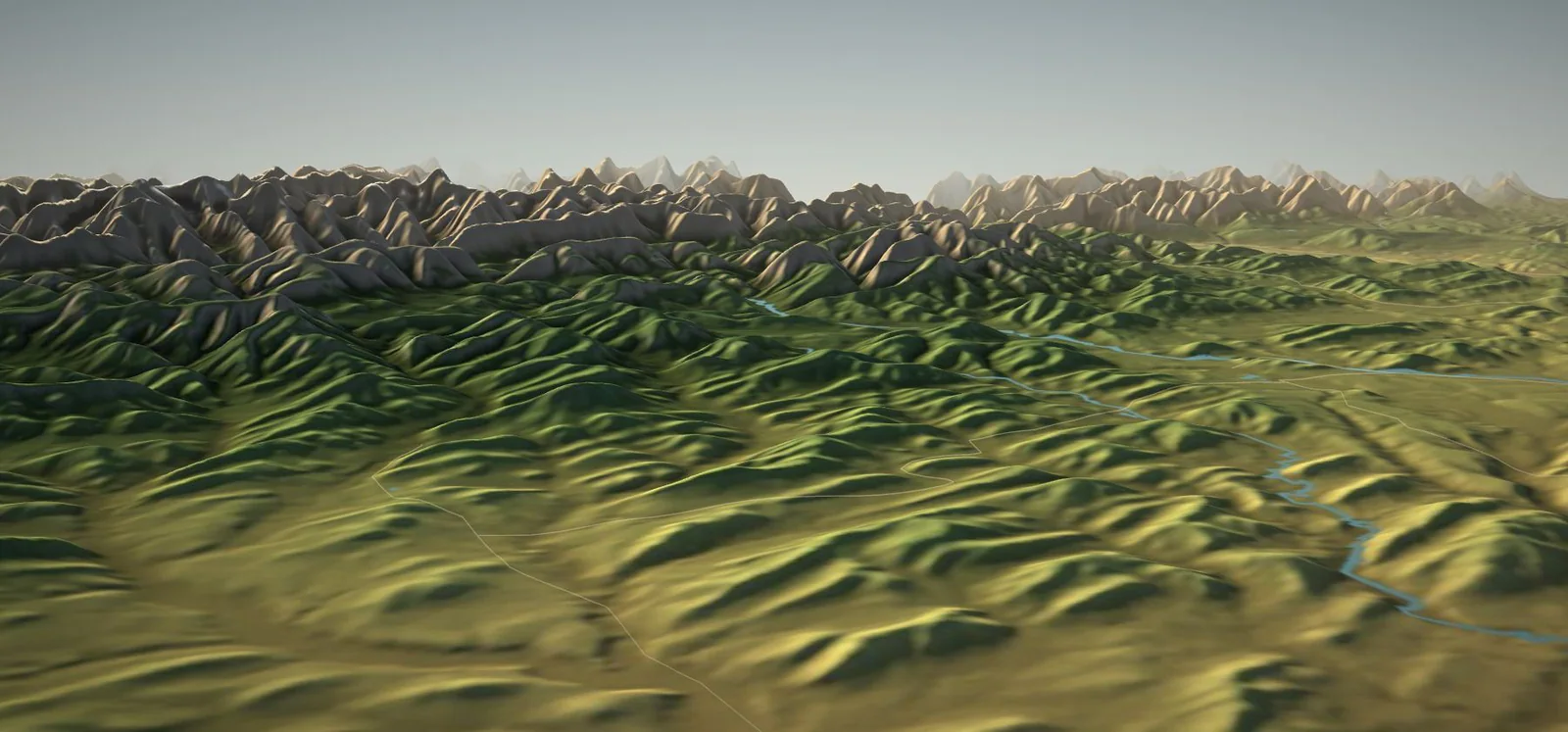
- Elevation
- To downtown
Elevation: NRCan CDEM via AWS Terrain Tiles (OGL–Canada) · Rivers & roads © OpenStreetMap contributors
Calgary & the foothills
Where Dusko represents clients.
Country residential regions within roughly an hour of downtown Calgary, where Dusko lists and buys acreages directly.
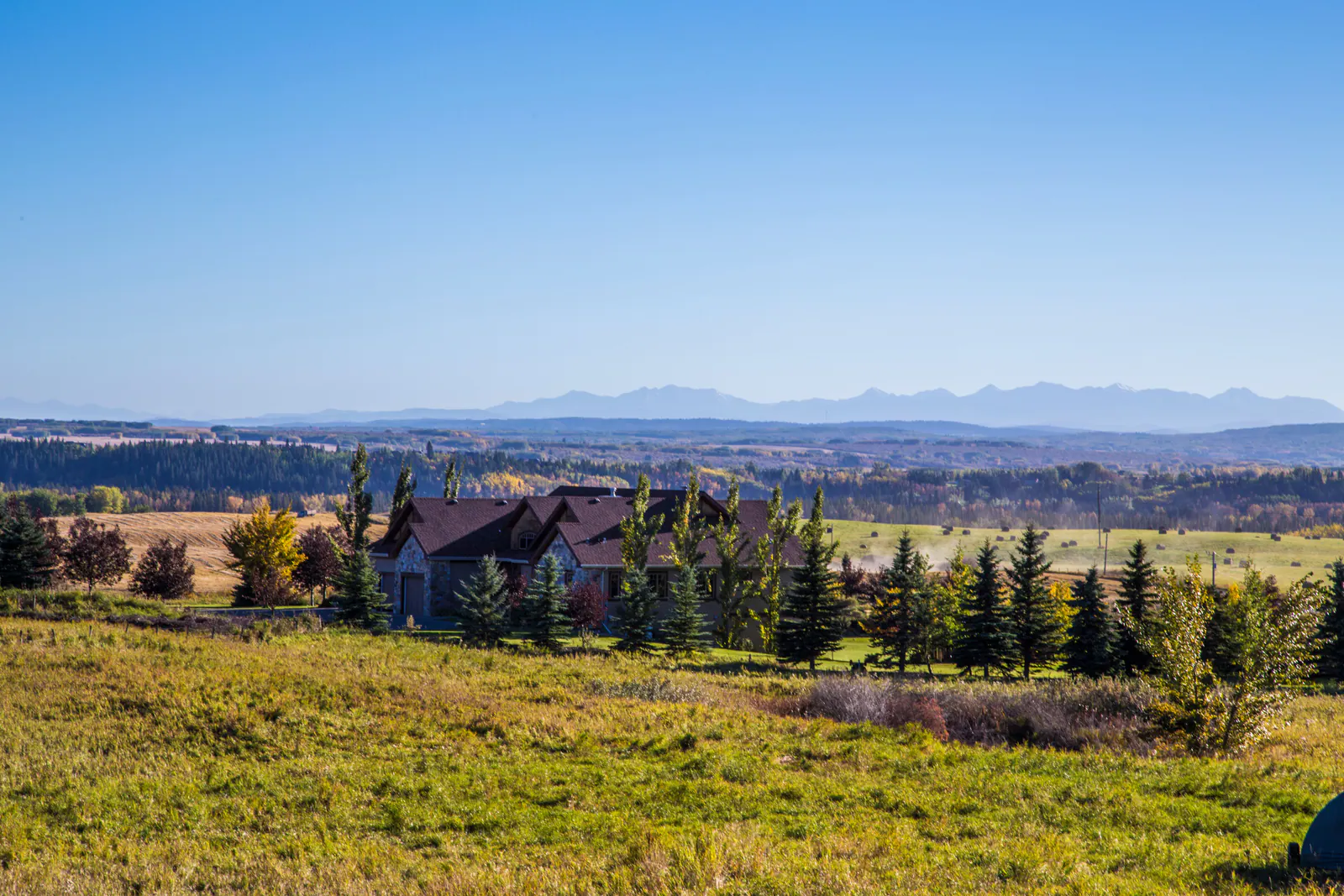
Rolling hayland and ridge-top estates between the Bow and the Elbow, with the widest mountain views this close to the city.
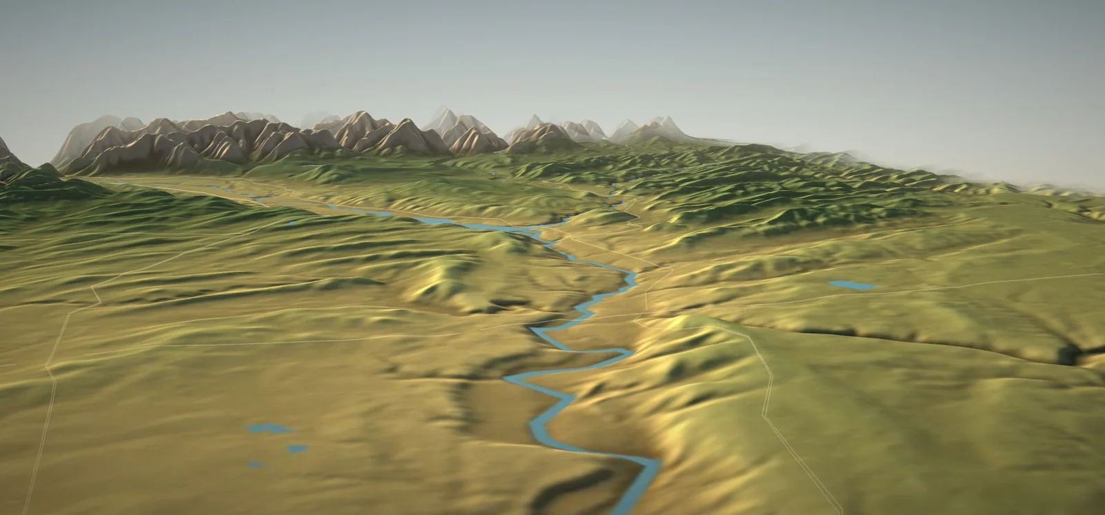
Coulees, aspen bluffs and big-sky parcels along Calgary's northwest edge, north of the Bow.
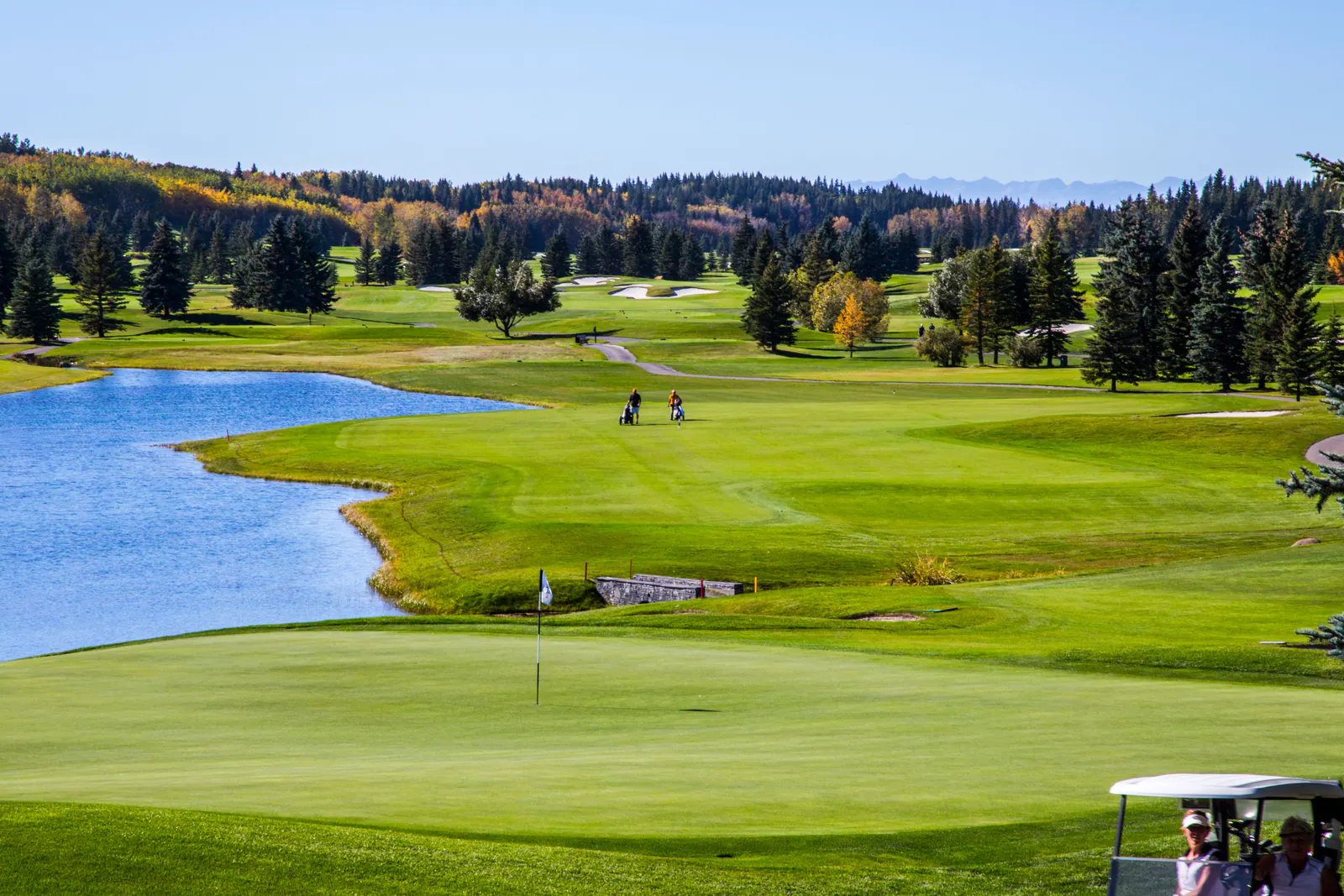
Estate enclaves, lakes and fairways on the Highway 8 corridor, minutes from the city's west edge.
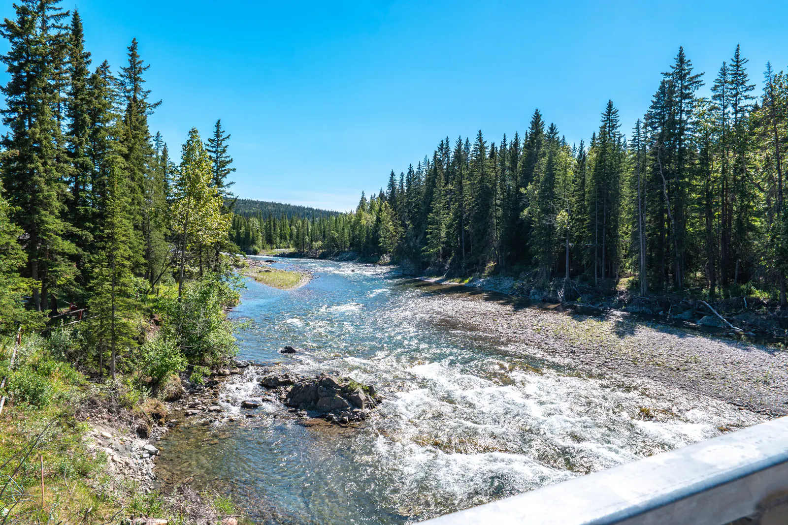
Forested acreages on the Elbow River at the gateway to Kananaskis Country.
Treed foothills, spring-fed valleys and private estates southwest of the city.
Ranch country, long foothills ridges and the quietest roads within an hour of Calgary.
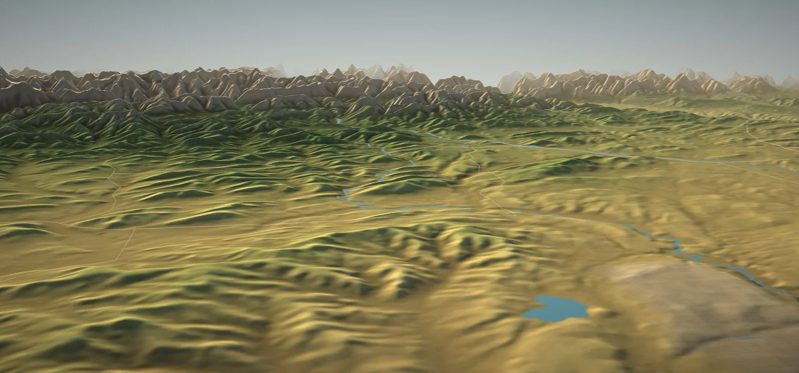
Level country residential land between Calgary's south edge and Okotoks, close to Highway 2.
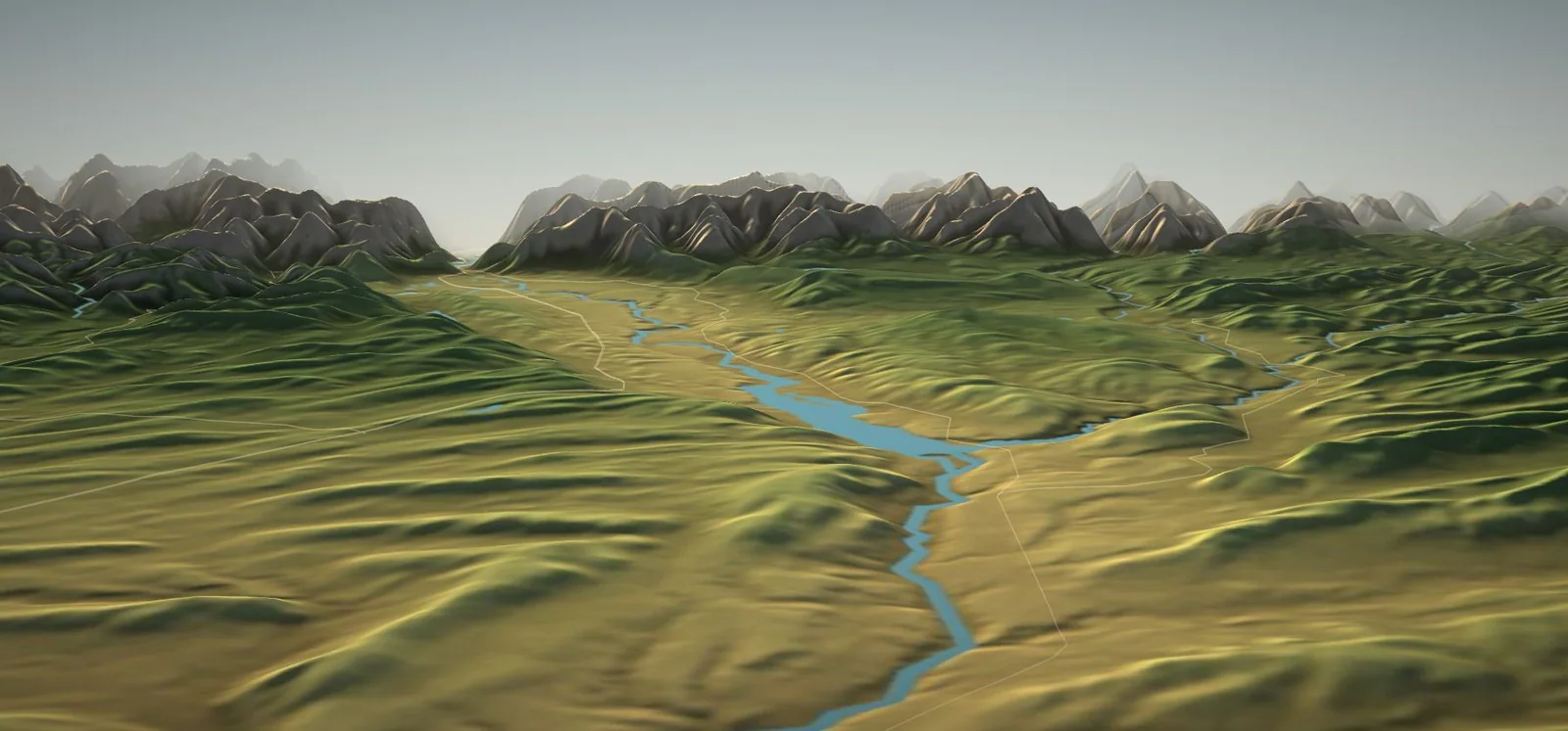
Bow Valley bluffs, Cochrane Lake and open ranchland running north toward the Ghost.
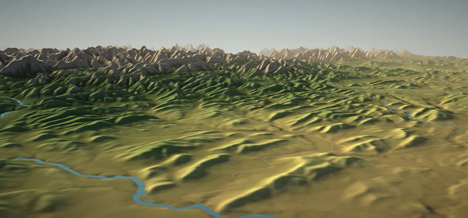
The Sheep River valley and the Cowboy Trail, where the foothills begin to climb.
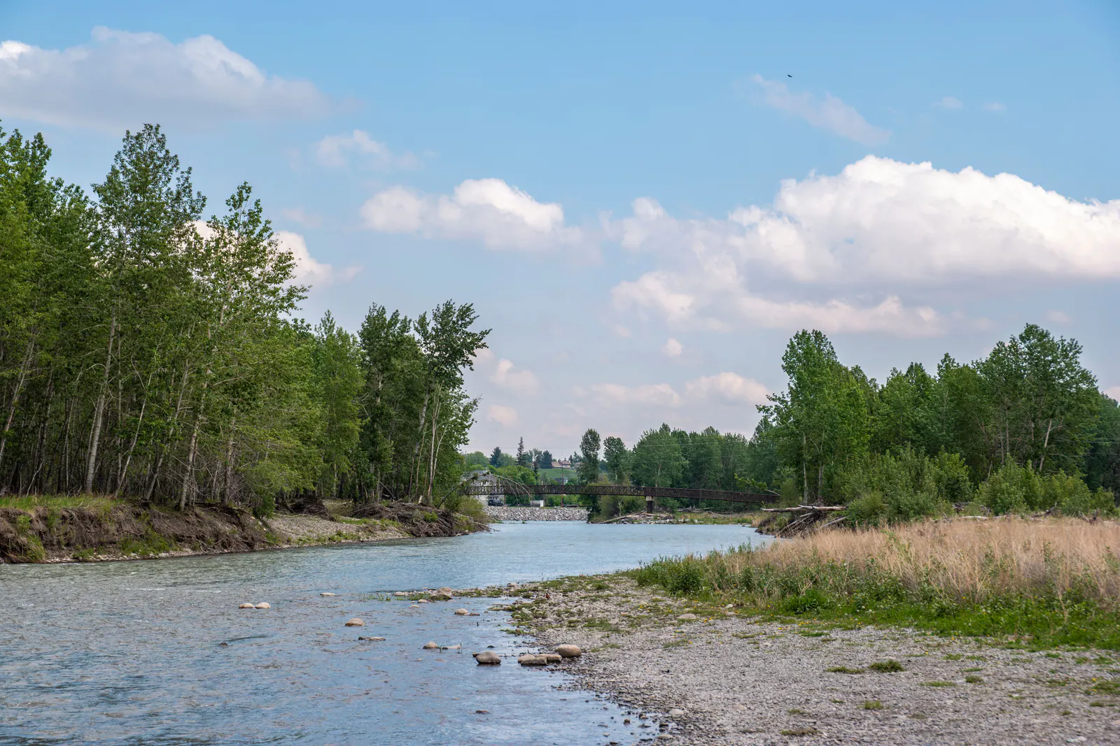
River-bottom parcels and farm-scale holdings around Okotoks and the Highwood.
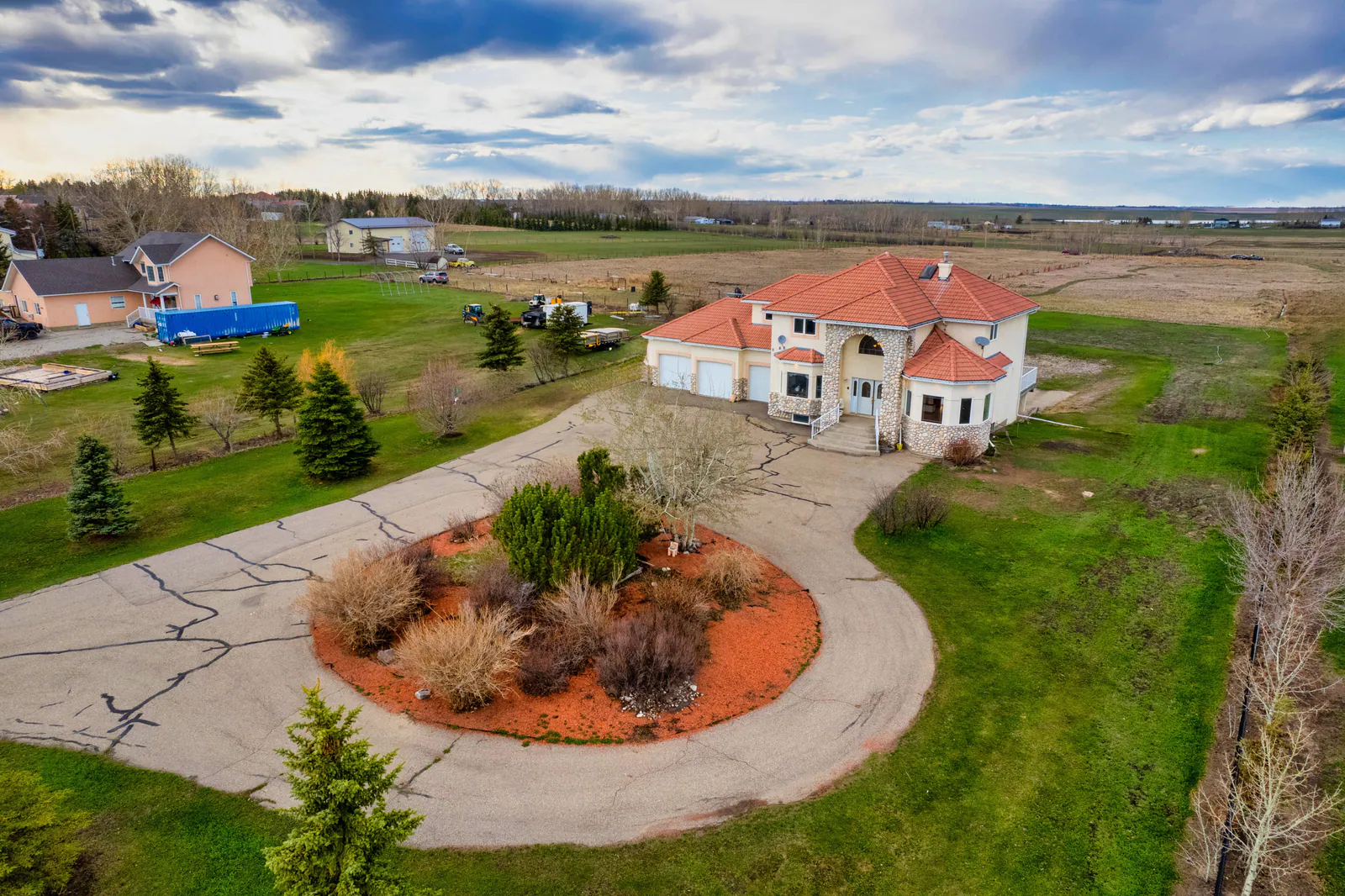
Prairie acreages east of the city with fast access to the airport and Stoney Trail.
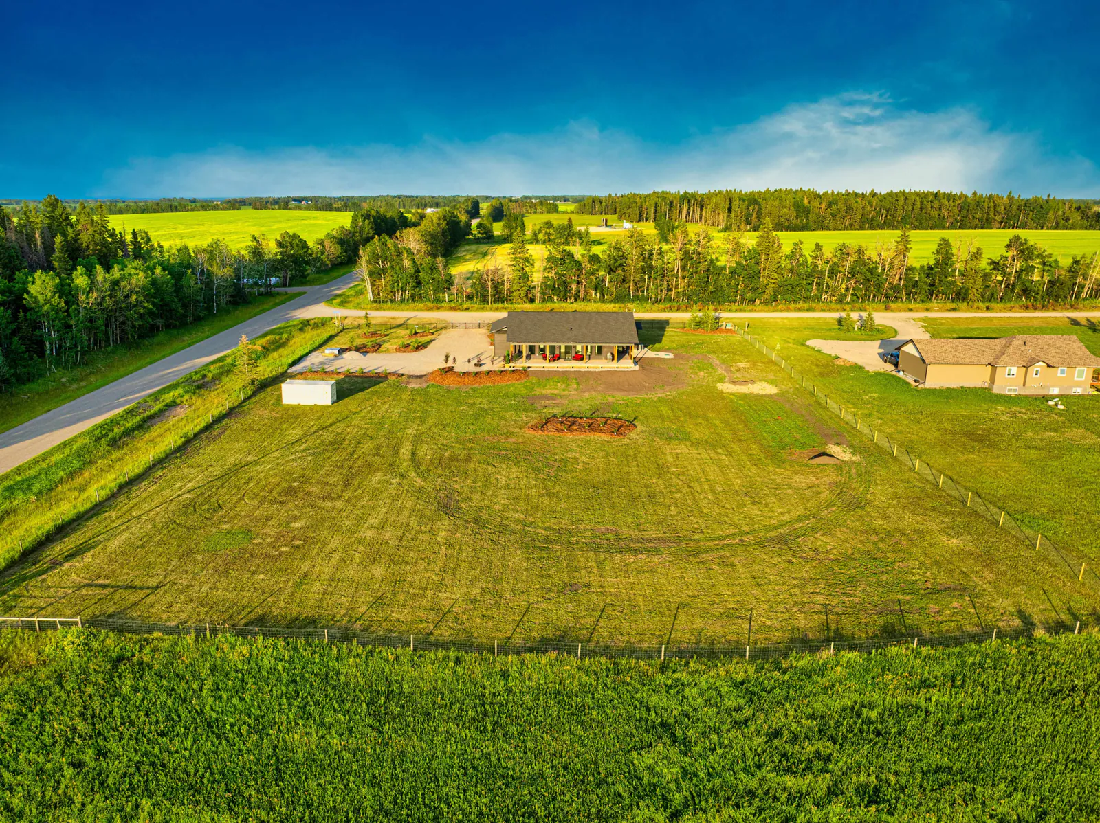
Carstairs, Didsbury, Olds and Sundre: larger parcels, working land and mountain views an hour north.
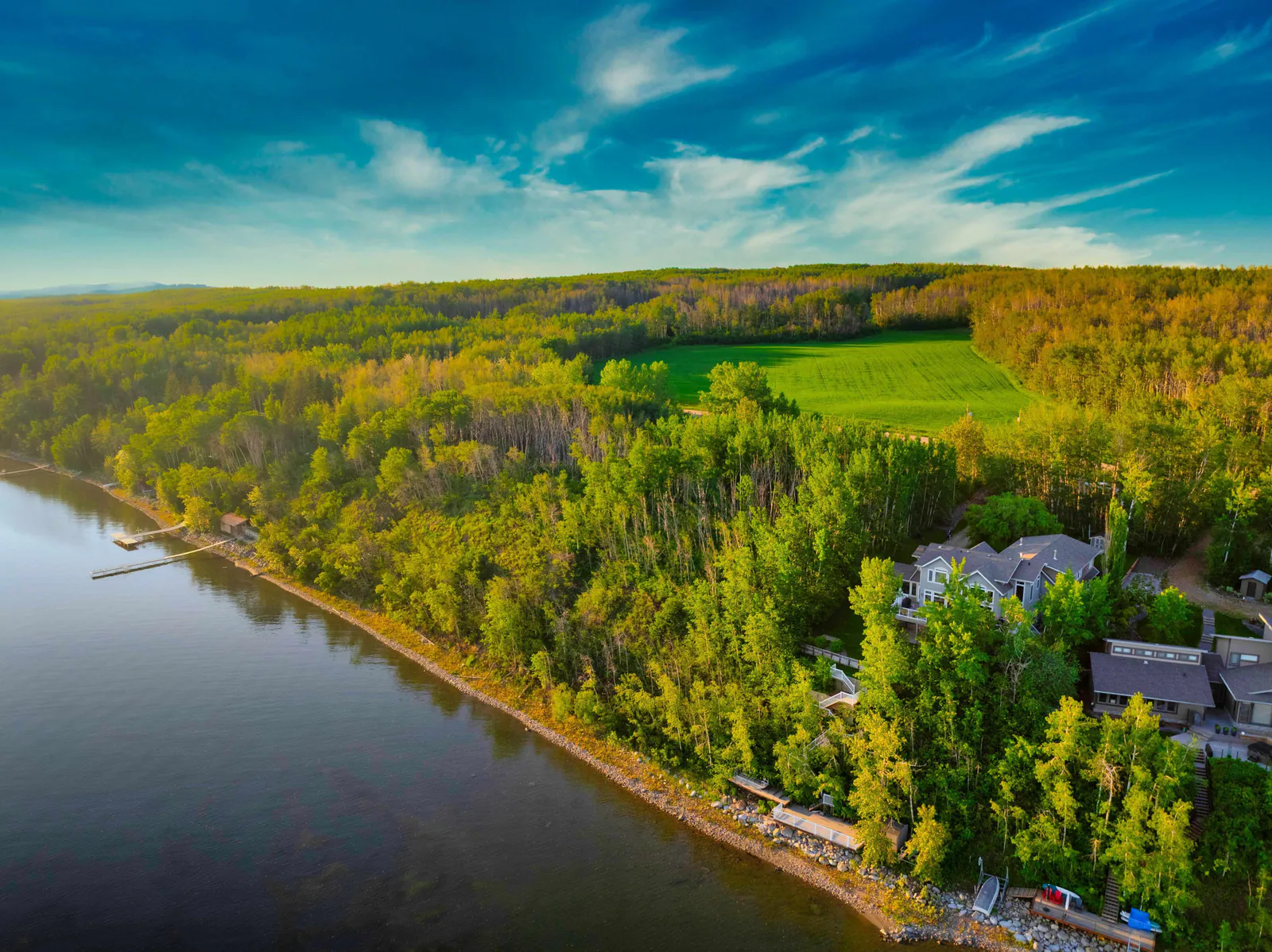
Lake country and parkland between Calgary and Edmonton, anchored by Sylvan Lake.
Measured, not described
The regions side by side.
Distance, elevation and relief measured from the same terrain model that powers the 3D map. Relief is the height difference within five kilometres of each region's centre — a plain measure of how rolling the country is.
| Region | Municipality | From downtown (straight-line) | Elevation | Relief within 5 km |
|---|---|---|---|---|
| Springbank | Rocky View County | 19 km | 1,190 m | 150 m |
| Bearspaw | Rocky View County | 20 km | 1,105 m | 230 m |
| Elbow Valley | Rocky View County | 15 km | 1,145 m | 180 m |
| Bragg Creek | Rocky View County | 36 km | 1,315 m | 200 m |
| Priddis | Foothills County | 25 km | 1,165 m | 225 m |
| Millarville | Foothills County | 36 km | 1,215 m | 195 m |
| De Winton | Foothills County | 25 km | 1,110 m | 195 m |
| Cochrane Area | Rocky View County | 33 km | 1,210 m | 230 m |
| Diamond Valley & Turner Valley | Foothills County · Town of Diamond Valley | 42 km | 1,190 m | 200 m |
| Okotoks & Foothills County | Foothills County | 36 km | 1,055 m | 135 m |
| East Rocky View | Rocky View County | 15 km | 1,060 m | 70 m |
Source: NRCan Canadian Digital Elevation Model via AWS Terrain Tiles, sampled at each region's approximate centre. Driving times vary with route and season.
Across Alberta
Research guides farther afield.
Background on acreage country elsewhere in the province. For these areas Dusko can discuss your plans and, where it serves you better, introduce a local specialist.
Private consultation
Begin with a private conversation.
Tell Dusko about the property or the kind of land you are looking for. Conversations are confidential and there is no obligation.