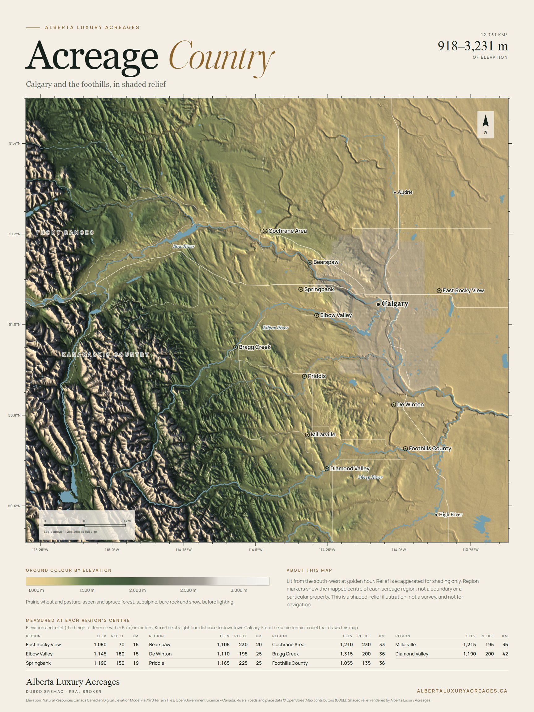
Golden hour edition
Lit from the south-west by a low evening sun, with prairie wheat, aspen and spruce, bare rock and snow shaded by elevation. The Front Ranges throw long shadows across the foothills.
18 × 24 in · PDF · 2.3 MB
Free download
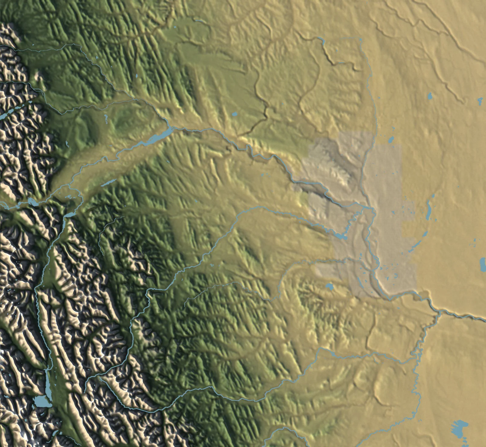
A printable shaded-relief map of Calgary and the foothills: more than 12,000 square kilometres from the Front Ranges to the prairie edge, in two editions.
Golden hour edition
Lit from the south-west by a low evening sun, with prairie wheat, aspen and spruce, bare rock and snow shaded by elevation. The Front Ranges throw long shadows across the foothills.
18 × 24 in · PDF · 2.3 MB
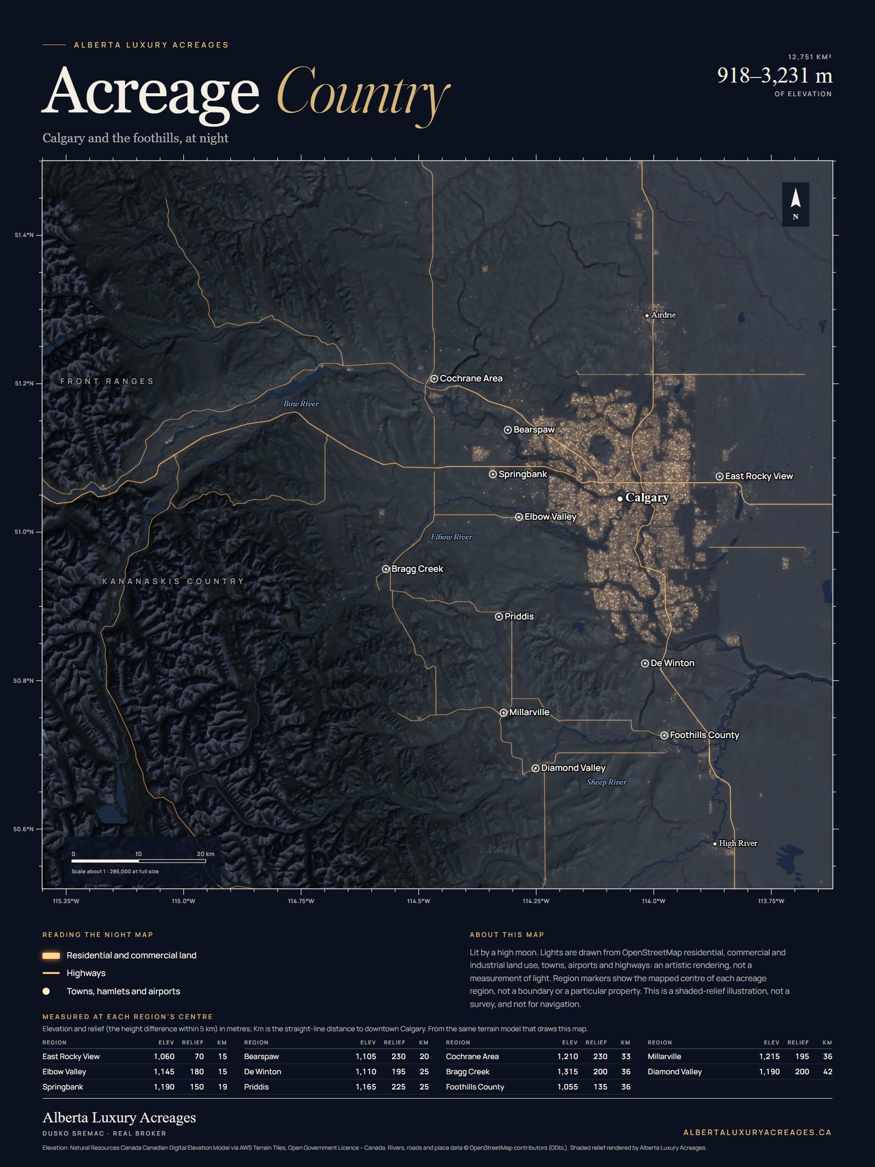
Night edition
The same terrain under a high moon, with the lights of Calgary and the surrounding towns and the main highways, drawn from OpenStreetMap data. An artistic rendering, not a measurement of light.
18 × 24 in · PDF · 1.6 MB
Each poster is a single 18 × 24 inch page in a 3:4 shape. Print it at full size on a large-format printer or at a print shop, or let it scale to another 3:4 size such as 12 × 16 inches. "Fit to page" also works on tabloid and letter paper, with slightly wider margins. The map itself is about 16 inches wide, drawn from a 4,096-pixel image.
Print it for your own use and keep the credits at the foot of the page.
Private consultation
Tell Dusko about your residential acreage or the country home you are looking for. Conversations are confidential and there is no obligation.
Dusko represents residential acreages and country homes. Abby Cline leads our rural program alongside Jenn Allen; both are licensed in residential and rural real estate with Real Estate Partners Team at Real Broker.